The Story of Our Waterways
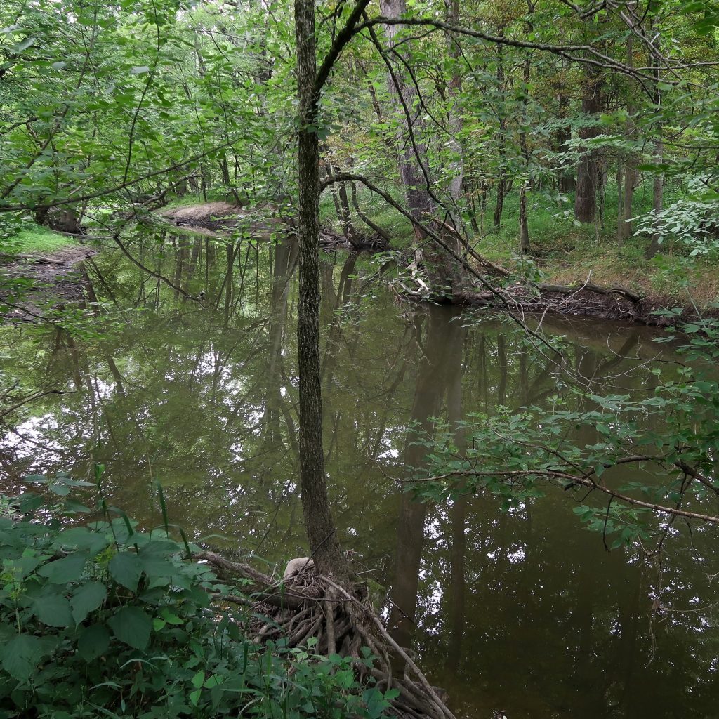
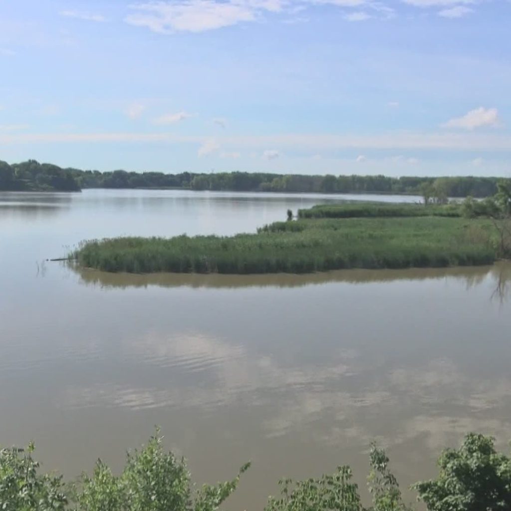
Northwest Ohio is home to some of the rarest ecosystems on Earth. Thousands of years ago, glacier movements carved out our extraordinary Great Lakes. The ancient shores of Lake Erie created a landscape of momentous sand dunes and densely-forested wetlands. Before drainage projects began in the late 19thcentury, the Great Black Swamp stretched for nearly one million acres across Northwest Ohio, Southeast Michigan, and Northeast Indiana. Today, our region hosts rare wet prairie ecosystems, vernal pools, coastal wetlands, and sand dunes that seem to rise mysteriously out of forests and fields. This unique landscape sets the stage for incredible biodiversity to take root in Northwest Ohio. Lucas County boasts more rare and endangered species than any other county in Ohio. (Source: Ohio Department of Natural Resources)
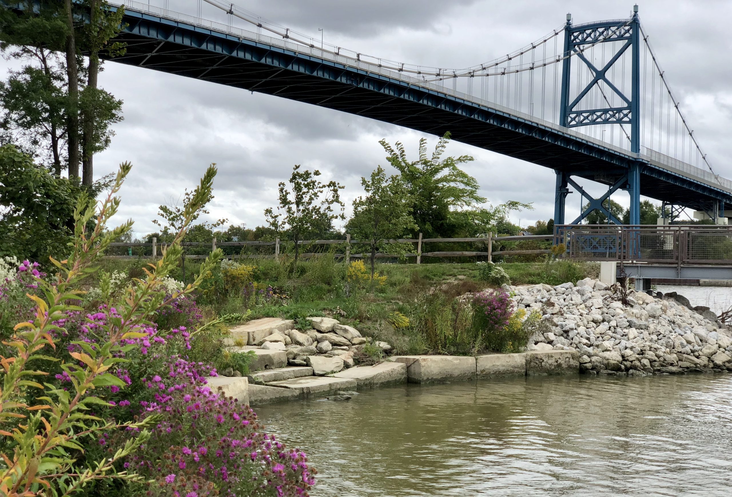
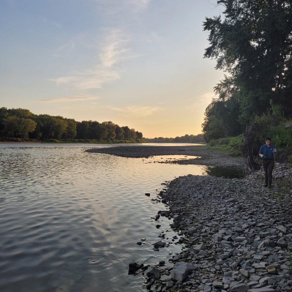
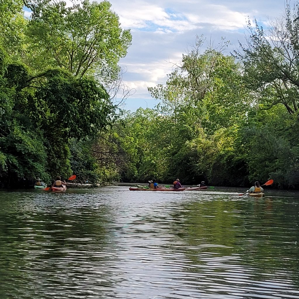
Clean, clear, and safe water forms the nexus for this network of life. Our waterways are home to hundreds of species of plants and animals, and serve as highways for many more. Abundant fresh water is a resource we shouldn’t take for granted. At Partners for Clean Streams, we love to walk alongside our rivers, boat on them, fish in them, and of course, drink the fresh water they provide. Every day and in many ways, our connection to our waterways runs deep.
Let’s dive into the Lake Erie tributaries that make up our region’s lifelines.
Northwest Ohio’s Waterways
More Ohio Waterway Resources
Nonpoint Source Implementation Strategies for Ohio Waterways (Ohio EPA)
These plans detail water quality concerns on a watershed-to-watershed basis and are used to propose projects and implement solutions to water issues. A NPS-IS is a living strategic planning document that summarizes causes and sources of impairment, established critical areas, identifies quantifiable objectives to address causes and sources of impairment, and describes projects designed to meet those objectives.
Ohio Coastal Atlas (Ohio Department of Natural Resources)
The Ohio Coastal Atlas illustrates and discusses many of Lake Erie’s historical, cultural, physical and natural resources using colorful maps and descriptive text. It features detailed information on the Lake Erie Watershed; Lake Erie’s role Ohio’s history; land uses, including protected lands, outdoor recreation and public access; Lake Erie’s ecosystem and habitat types, and much more.
How’s My Waterway (U.S. EPA)
This map tool was designed to provide the general public with information about the condition of their local waters based on data that states, federal, tribal, local agencies and others have provided to EPA.